Public walking trails
The GCC has developed maps to encourage more people to make use of our public trails. Click here for a map that includes an overview of all of the public walking trails in town. You can also find detailed maps of each trail below. The maps are in pdf format so can be used online or printed out to take with you. They can also be uploaded into a trail map App such as Avenza so you can see your location on the trail as you walk it.
Barr Hill Natural Area
Description
A 0.3-mile or 0.8-mile loop on self-guided Nature Trail; minimal ascents; no facilities.
Unparalleled vistas of the Green Mountain range. Mid successional red spruce/northern hardwood forest.
These trails connect to the Mossy Trail.
Directions
From the center of Greensboro (Willey’s Store), take Wilson St. north for 0.1 mile. Bear right onto Lauredon Ave. Drive 0.6 miles and, at the fork, bear left on Barr Hill Rd. Go 1 mile to the “Barr Hill Natural Area” sign. There is a small winter parking areas here. In other seasons continue past the sign until you reach the large trailhead parking area at the dead end.
Website
https://www.nature.org/en-us/get-involved/how-to-help/places-we-protect/barr-hill-natural-area/
AVENZA COMPATIBLE MAP
Lamoille Valley Rail Trail
Description
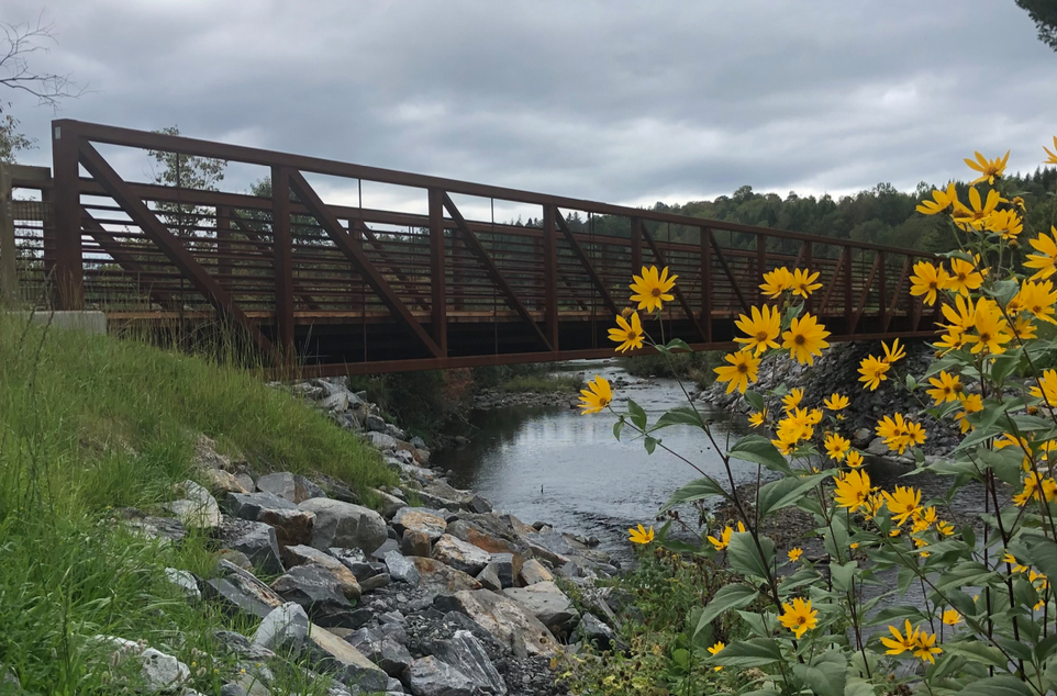
The Lamoille Valley Rail Trail (LVRT) is a four-season, multi-purpose recreation and transportation corridor across northern Vermont following the former 93-mile Lamoille Valley Railroad (LVRR) rail line from St. Johnsbury to Swanton.
The trail has a 10-foot-wide firm compacted crushed stone surface with 2-foot grass shoulders and wheelchair-accessible grades. The trail is open year-round to non-motorized uses. In the warmer months, the trail can be utilized for walking, jogging, hiking, cycling, and horseback riding. Local snowmobile clubs maintain and groom the trail through winter, allowing for snowshoeing, Nordic skiing, snowmobiling, and dog sledding.
Website
Directions
Access to the LVRT is on Main Street in Greensboro Bend. Look for the old train Depot and Our Community Park.
Avenza compatible map
Long Pond Natural Area
Description
The West shore is accessible by a well worn path and has a good canoe launch.
767 acres owned by The Nature Conservancy. 99-acre undeveloped pond. Northern hardwood forest and white cedar swamp.
Directions
Long Pond Road (off of Town Highway #8). Park along Town Highway #8 and walk down Long Pond Road.
Website
https://www.nature.org/en-us/get-involved/how-to-help/places-we-protect/long-pond-natural-area/
AVENZA Compatible map
Mossy Trail
Description
2.8-mile round trip between Highland Lodge and Barr Hill Natural Area upper parking; no facilities.
This trail connects to the Barr Hill Natural Area trails.
Directions
Parking is at Highland Lodge (1608 Craftsbury Road)
AVENZA COMPATIBLE MAP
Paddock Hill
Description
A moderately challenging hiking trail up and around Paddock Hill with an optional spur to Long Pond.
This trail is not maintained and can be difficult to access.
Directions
From Willey’s Store in Greensboro, take Cemetery Ridge Rd. (past the post office) onto Garvin Hill Rd. for 3 miles. At the Y junction bear left onto Hill Rd. In 0.5 miles turn right onto Hillcrest Rd. Go 0.75 miles and turn left on Tamarack Ranch Rd. This road becomes very rough requiring a high-clearance vehicle. Drive as far as you feel comfortable then park on the roadside and walk until you reach the Conservancy trail sign-in box. The trail goes uphill to the right. (Long Pond is to the left.)
Porter Brook Trail
Description
1-mile loop starting at Highland Lodge; no facilities.
Directions
Parking is at Highland Lodge (1608 Craftsbury Road)
AVENZA COMPATIBLE MAP
Willey Beach Park
Description
A short walk through field and forest to reach the eastern shores of Caspian Lake.
Directions
85 Wilson Street, Greensboro
(Next to the Greensboro Free Library)
Avenza compatible map

Parks, Swimming, Skiing & Snowshoeing
Caspian Public Beach
Description
A free public beach with a boat launch, seasonal bathrooms, and picnic area.
Directions
Beach Road, Greensboro
(Across from Willey’s Store)
Highland Lodge & Craftsbury Outdoor Center
Ski & Snowshoe Trails
Description
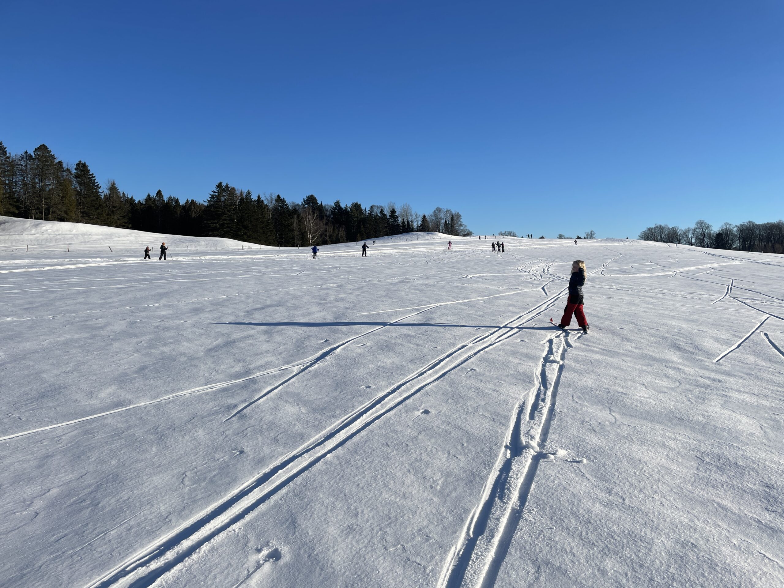
Over 105k of groomed nordic ski trails and 20k of snowshoe trails through farms, fields and forests in Craftsbury, Albany, and Greensboro.
The Craftsbury Outdoor Center hosts a large number of other sports and recreation events throughout the year. Membership is free for Greensboro residents.
Website
Directions
Access and parking for the ski trails in Greensboro are at the Town Clerk’s Office (82 Craftsbury Road), and at Highland Lodge (1608 Craftsbury Road).
Lake Eligo
Description
Lake Eligo, a 182 acre lake that drains on both ends, is in both Greensboro and Craftsbury. There is a public beach on the East shore and a boat launch on the West shore.
Directions
East Shore: 300 Lake Road, Craftsbury
West Shore: 1730 VT Route 14, Craftsbury
Our Community Park
Description
A playground, basketball court, and picnic area. Location of the Memorial Tree Lighting.
Directions
Main Street, Greensboro Bend
(Between the Post Office and the Lamoille Valley Rail Trail)
